This 18.2 km loop is one of the most enjoyable trail runs near Tokyo. Despite the distance, it has a manageable 930 m of elevation gain, allowing you to maintain a comfortable pace without constant steep climbs.
Why choose this route?
・Consistent Rhythm: Mostly follows a single ridgeline, which is ideal for finding a steady, flowing pace.
・Safety & Peace of Mind: Being a popular mountain, you’ll frequently encounter other hikers, making it an excellent choice for solo runners or those nervous about being isolated.
・Varied Scenery: You’ll transition from the vibrant atmosphere of Mt. Takao to serene lake views and unique landmarks like the “Nishiyama Dragon” wood sculpture.

Who Is This Route For?
・Runners looking for high mileage with low technical difficulty.
・Solo runners who value the “safety in numbers” of a popular mountain.
・Those who love “flowy” single-track and ridge running.
• Visitors staying in Tokyo without a car
Quick Facts & Access
Start / Finish: Takao Station (JR Chuo Line)
Distance: 18.2 km
Elevation Gain: 930 m
Moderate pace with breaks: 4 – 5.5 hours
Best season: Autumn to Spring (roughly September through May)
⚠Summers are very hot and humid in this area. Plan carefully and start early if running in warmer months.
GPX: Downloadhere
Note: To help us improve our guides for the climbing community, please answer a quick 2-minute survey to unlock the GPX download link.

Access to Takao Station from Shinjuku:
1.Take the JR Chuo Line directly to Takao Station.
2.Alternatively, take the Keio Line from Shinjuku to Takao Station (often cheaper).
(Approx. travel time: 45–50min. Fully covered by Suica/PASMO)
Peaks & Landmarks on Route
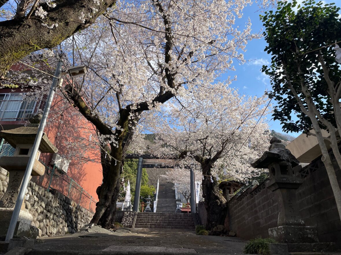
・Mount Takao (高尾山) (599 m) :Tokyo’s most famous mountain and a Michelin Green Guide 3-star site.
・Mount Oborayama (大洞山) (536 m): : A quiet peak marking the transition to the South Takao ridge.
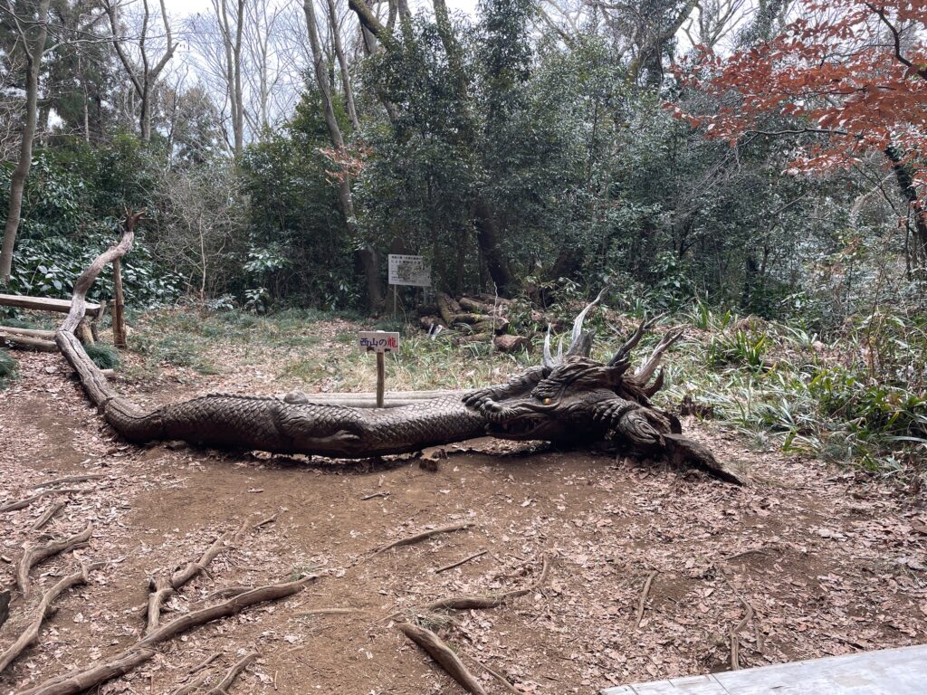
・The Dragon of Nishiyama (西山の龍): A stunning, large-scale wood carving found right on the trail.
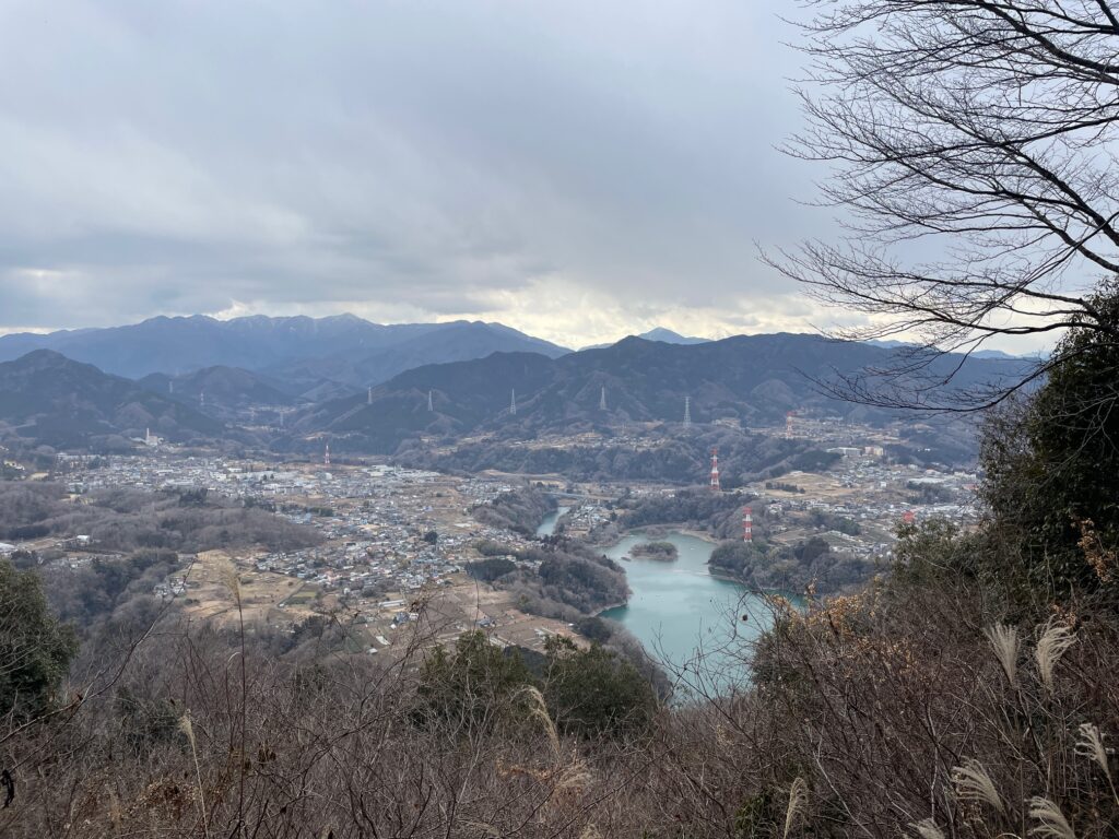
・Lake Tsukui (津久井湖): bright blue water can be surprisingly striking on a clear day.
・Mount Kusatoyama(草戸山) (364 m): The final major peak before the descent back to the city.

Facilities
Convenience Stores:
・Takao Station (South Exit and North Exit)
Toilets:
・Takao Station
・Near the summit of Mount Takao
・Momijidai
Water: Vending machines are plentiful on Mt. Takao, but non-existent on the South Takao ridge. Carry at least 1–1.5L.
Route Breakdown
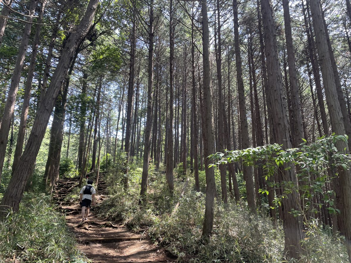
Section 1 Takao Station → Mount Takao
The run begins from Takao Station South Exit.
Right outside the ticket gate there is a convenience store, and the station area also has several bakeries and cafes — perfect for grabbing food before or after your run.
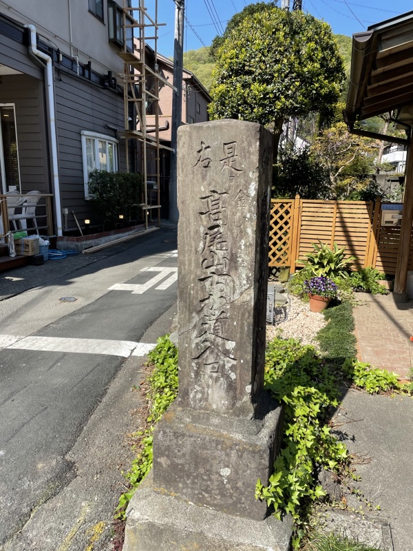
From the station, you follow Koshu Kaido Road briefly before entering the mountains through a small trailhead between residential houses marked by a stone monument reading “Takao Chikamichi Entrance.”
Once on the trail, the climb begins immediately.
The path gradually ascends toward Mount Takao, making this section ideal for warming up.
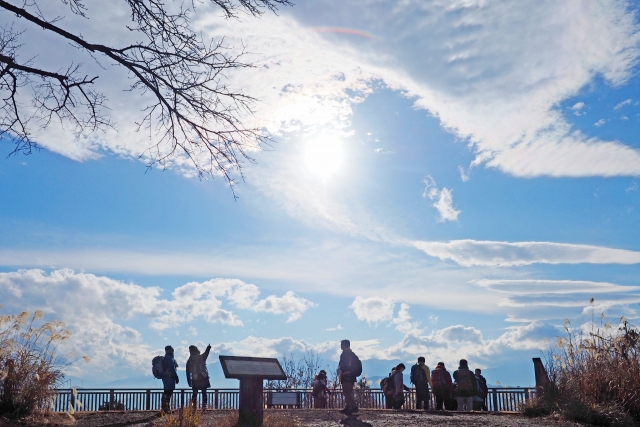
Until Konpiradai, the trail is relatively quiet. From there it merges with one of the main routes to Mount Takao, where the number of hikers increases significantly and the trail becomes paved.
Because of the large number of visitors, this final section(from Konpiradai to the summit) is not ideal for running.
Section 2 Mount Takao → Otarumi Pass
After reaching the summit area, the course continues along Trail No.5, which circles the mountain.
Although there are still hikers, the crowd thins out quickly and the trail begins to feel much more like a mountain path again.
Near Momijidai, you will find small food stalls and the last toilet on this route, making it a good place to take a short break.
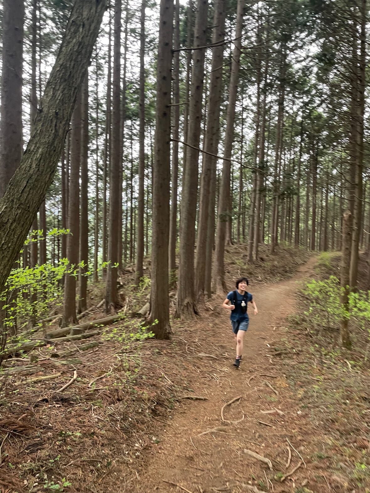
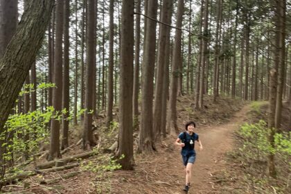
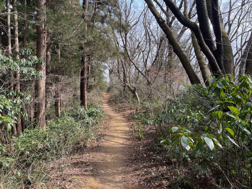
From here the trail begins a smooth, flowing descent toward Otarumi Pass.
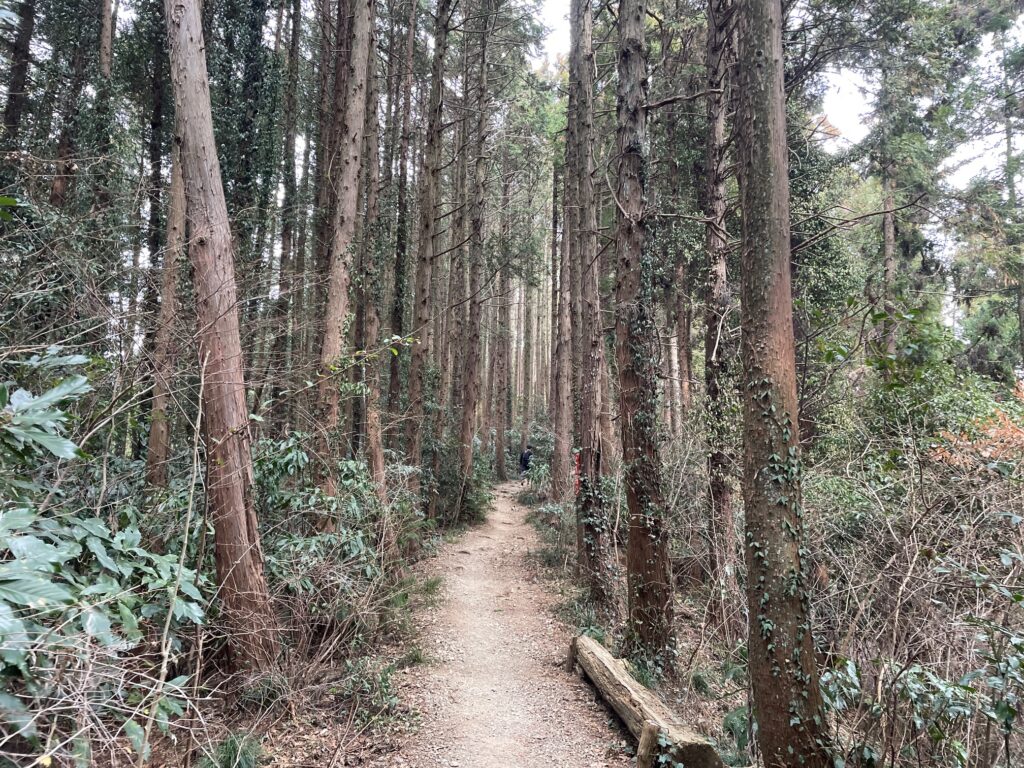
This section is incredibly runnable and one of the most enjoyable parts of the course.
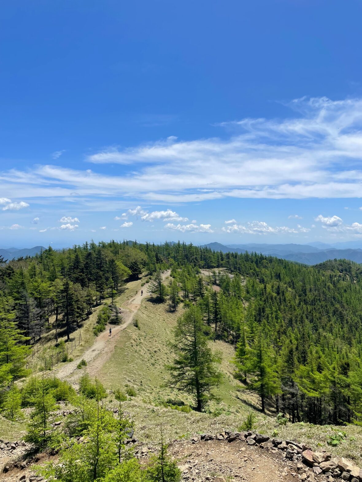
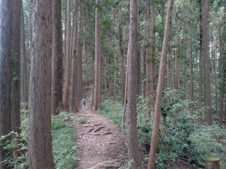
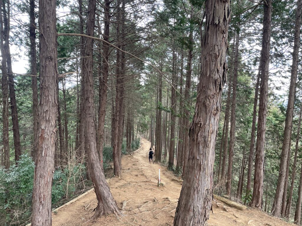
Section 3 Otarumi Pass → Mount Oborayama → Nishiyama Dragon
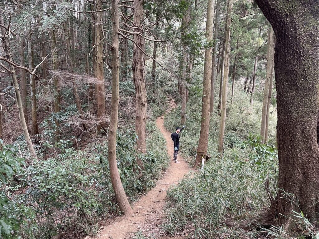
After a 100m climb from Otarumi Pass, you’ll reach the South Takao ridge.
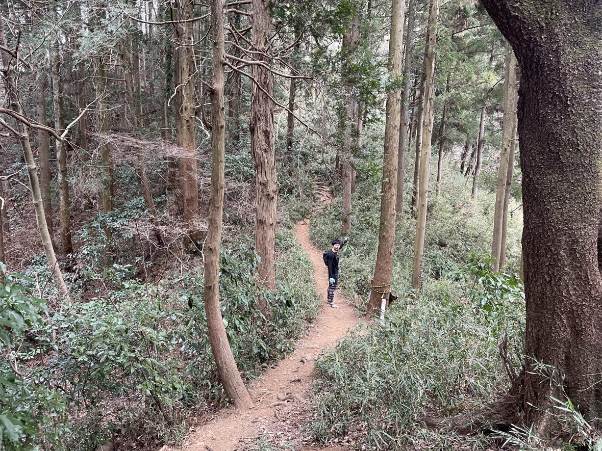
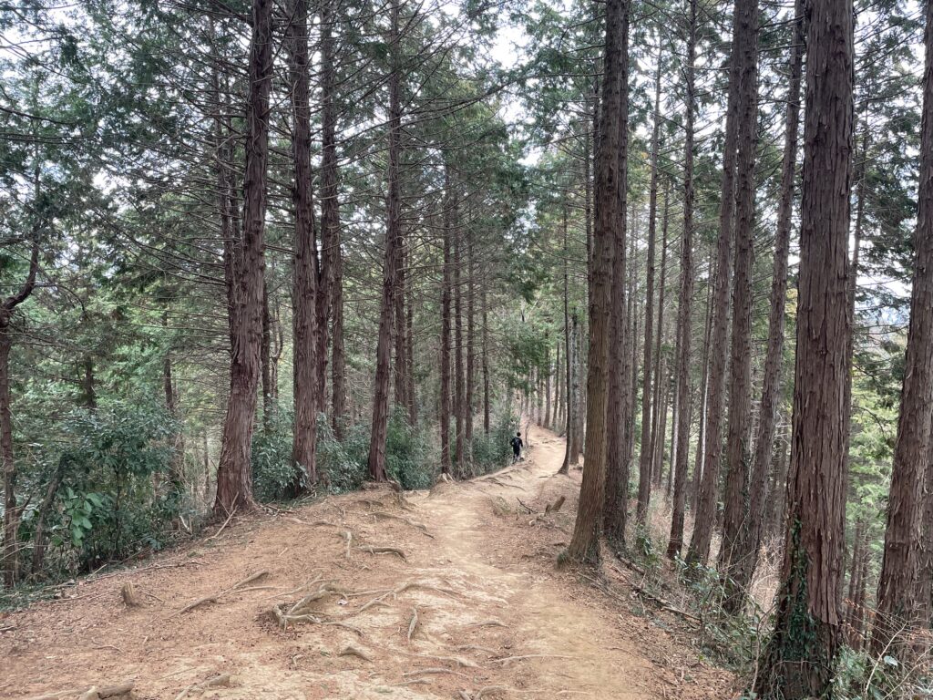
From here, the trail becomes even more enjoyable with several “makimichi” (bypass trails) that let you maintain your flow by avoiding unnecessary peaks.
Along the way, you’ll also get views of Lake Tsukui (津久井湖), whose bright blue water can be surprisingly striking on a clear day.
Eventually you’ll reach one of the most unique landmarks on the route: Nishiyama Dragon
This large wooden dragon sculpture is beautifully carved and surprisingly impressive.
There is even a small smartphone stand nearby designed for photos.
Section 4 Nishiyama Dragon → Mount Kusatoyama → Takao Station
After passing the dragon, the trail continues along a series of smooth and enjoyable ridgelines.
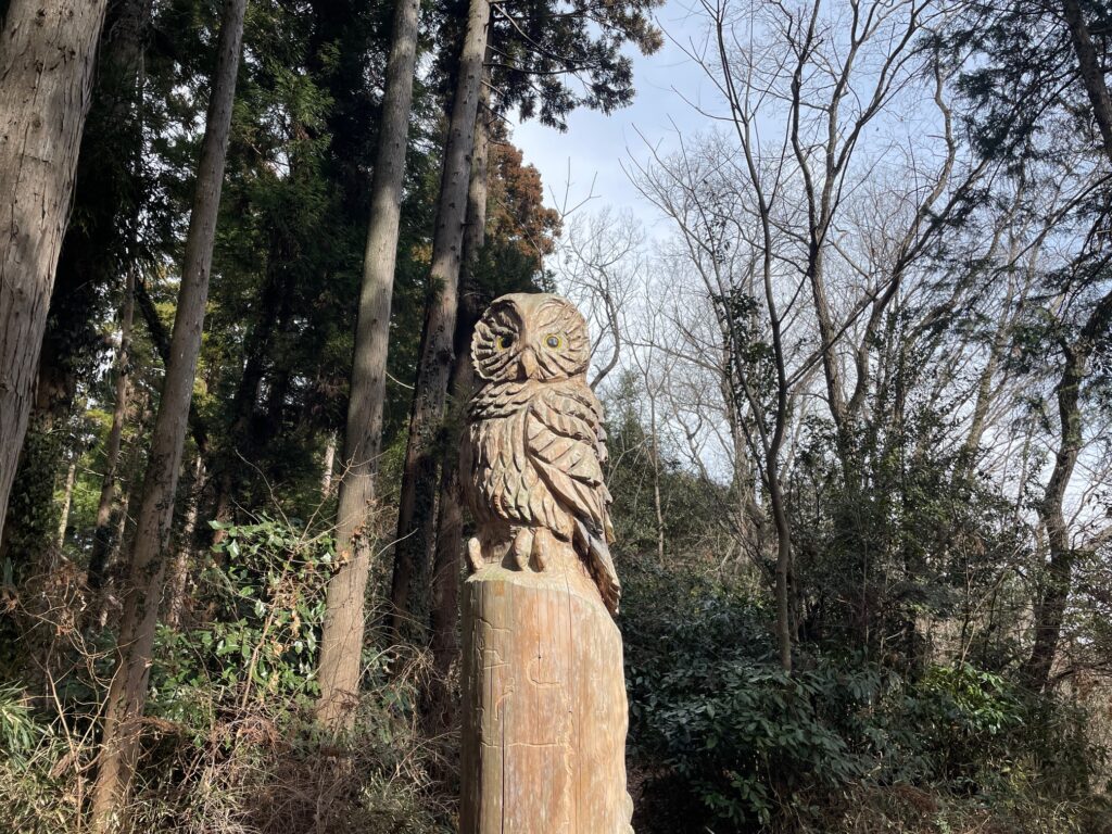
You may also encounter another detailed wooden sculpture — an owl carved into a tree trunk.
Eventually you will arrive at a very wide junction.
From here, follow the direction toward Mount Kusatoyama.
There is a short climb just before the summit, but it is relatively quick.
From Mount Kusatoyama, the course gradually descends toward Takao Station.
Although there are small ups and downs, the overall direction is downhill and comfortable for running.
As you approach the city, the sound of traffic begins to return. The trail eventually joins a paved road.
From there, it’s about 1 km of road running back to Takao Station North Exit, where the loop finishes.
Estimated Time
Japanese Standard Hiking Time: 8 hours 40 minutes
My Time (example): 4h 30m
10:20 Takao Station → 11:35 Mt. Takao → 12:35 Mt. Oborayama → 13:05 Nishiyama-no-Ryu → 13:35 Mt. Kusatoyama → 14:50 Takao Station
Estimated trail running times:
・Strong intermediate runner: 2.5 – 3.5 hours
・Moderate pace with breaks: 4 – 5.5 hours
Always allow extra time for navigation and train schedules.
Personal Note:
Running this course Counterclockwise (as described here) is recommended.
If you run it in reverse, the final descent would be down Mount Takao — an area that is often extremely crowded and not ideal for running.
FAQ: Running the Mt. Takao Loop
Q: It’s the most famous mountain in Tokyo. Is it really a good spot for trail running?
A: The main trails around the summit are extremely crowded and not ideal for running. However, once you cross Otarumi Pass and enter the South Takao Ridge, the crowds disappear, and you’ll find some of the most runnable, “flowy” singletrack near Tokyo.
Q: Is it better to run the loop clockwise or counter-clockwise?
A: Counterclockwise is highly recommended (as described here). If you run it in reverse, you’ll end your run descending through the most crowded tourist areas of Mt. Takao, which is difficult for running and can be frustrating for hikers.
Q: How do I handle the water situation on the South Takao ridge?
A: There are no water taps or public fountains on this route. While you can buy bottled drinks from vending machines near the Mt. Takao summit and small food stalls at Momijidai, there are no vending machines or water sources on the South Takao ridge (the final 10km). Be sure to carry at least 1–1.5L before you pass the Momijidai area.
Q: Is the trail easy to navigate?
A: Much of the route is straightforward, but the area around the Mt. Takao summit can be tricky. There are several overlapping paths, including Trail No. 1 and Trail No. 5, which often confuse runners. To keep your flow, avoid taking wrong turns into residential areas, and navigate the summit area confidently, I strongly recommend downloading my GPX file to stay on track.
Upgrade Your Run with the Full Guide
🏃♂️ Personalized Trail Planning
Looking for a custom itinerary? I also offer personalized trail planning tailored to your fitness level and schedule. Feel free to contact me for a bespoke running plan!
👉[Check out my Custom Itineraries here]