
You’re in Japan. The city is buzzing, but you have one free day — and a pair of running shoes. You’re wondering:
Is there a real mountain near Tokyo where I can actually run — without renting a car or getting lost?
Yes. And it’s closer than you think.
Let me introduce you to Okumusashi — a mountain area just 60–90 minutes from central Tokyo, perfect for a 10–20km adventure.
I’ll also share practical tips for international runners and important trail etiquette in Japan.
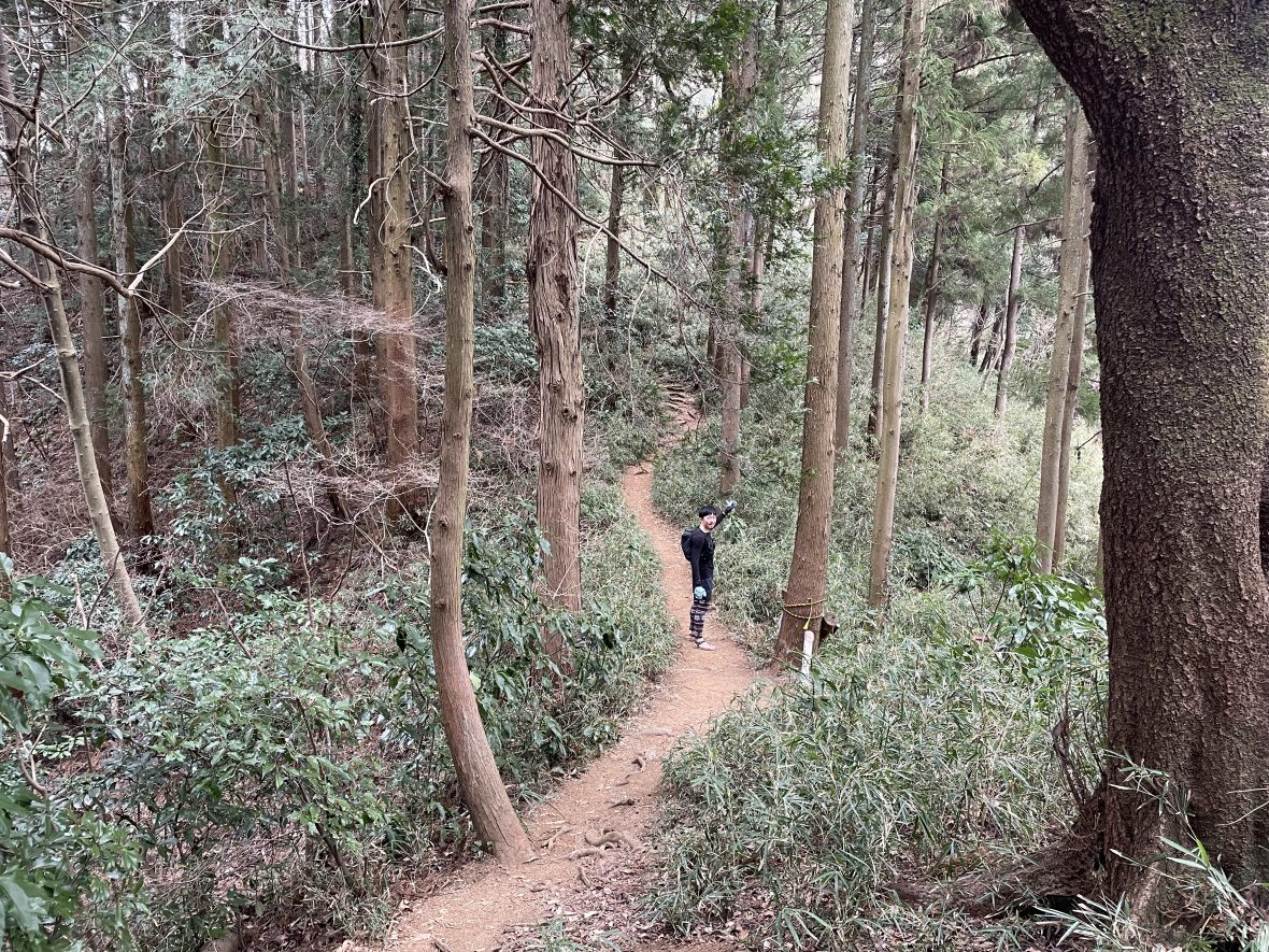
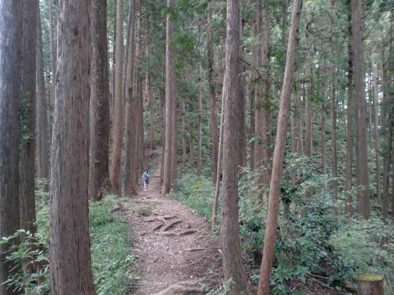
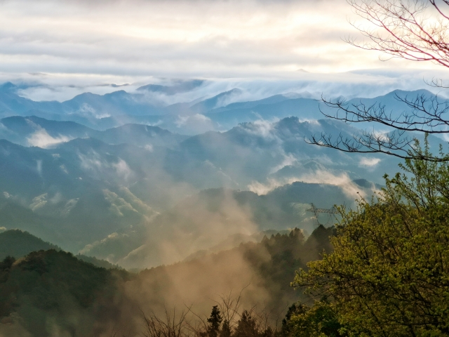
Where is Okumusashi?
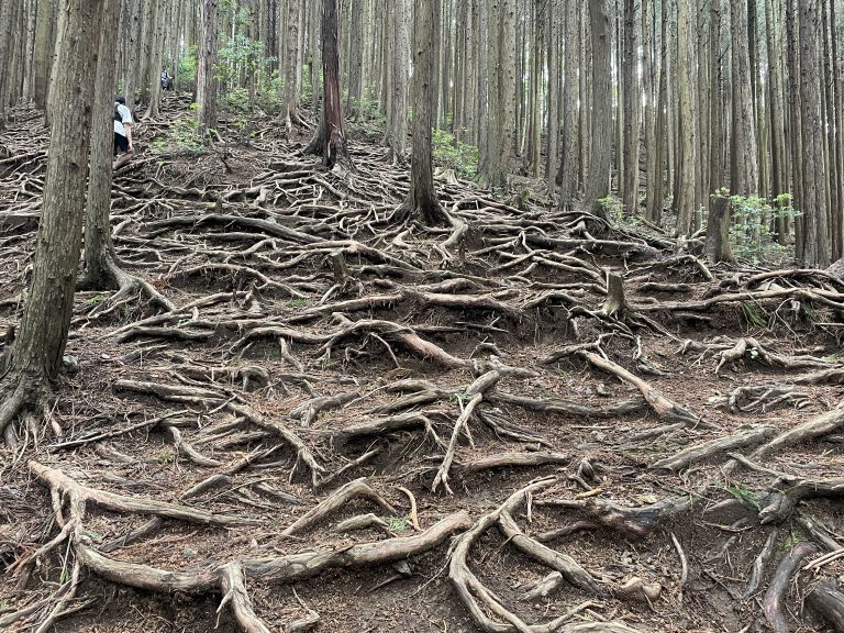
Okumusashi is located in southwestern Saitama, just next to Tokyo, in the Chichibu mountain range.
It’s one of the best areas for trail running near Tokyo because:
・Easy train access from the city (Direct trains from Ikebukuro or Shinjuku.)
・Station-to-station routes possible
・Quieter and more “local” than the crowded Takao area.
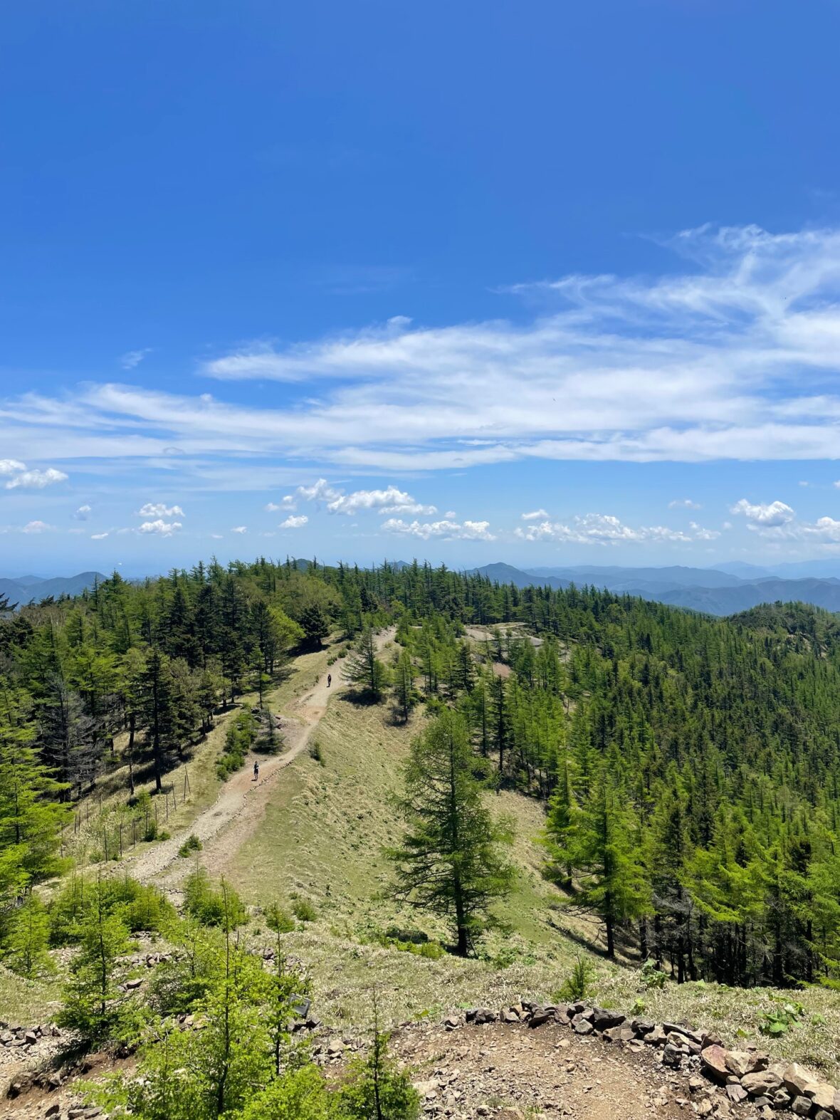
・200–1300m mountains with endless route options
・Perfect for day trips
⚠ Summer can be very hot and humid.
⚠ Some routes may require light traction (microspikes) in winter.
Logistics for International Visitors
・Access: Seibu Chichibu Line, JR Hachiko Line, Tobu Tojo Line
・IC card (Suica/PASMO) recommended
・Few convenience stores on course — buy supplies beforehand
・Few water stations in the mountains
・No special permit required for day runs
・Best seasons: Spring, Autumn, Winter (avoid mid-summer heat)
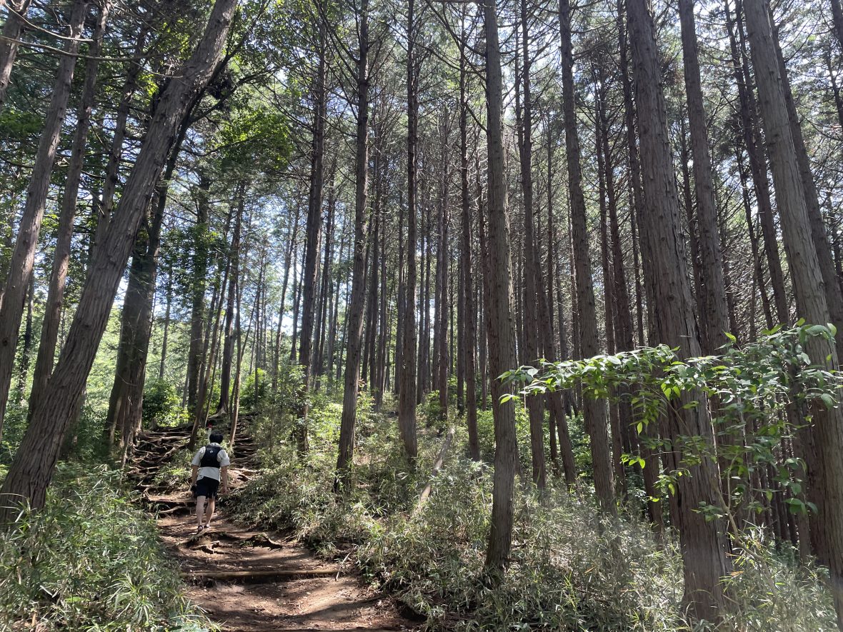
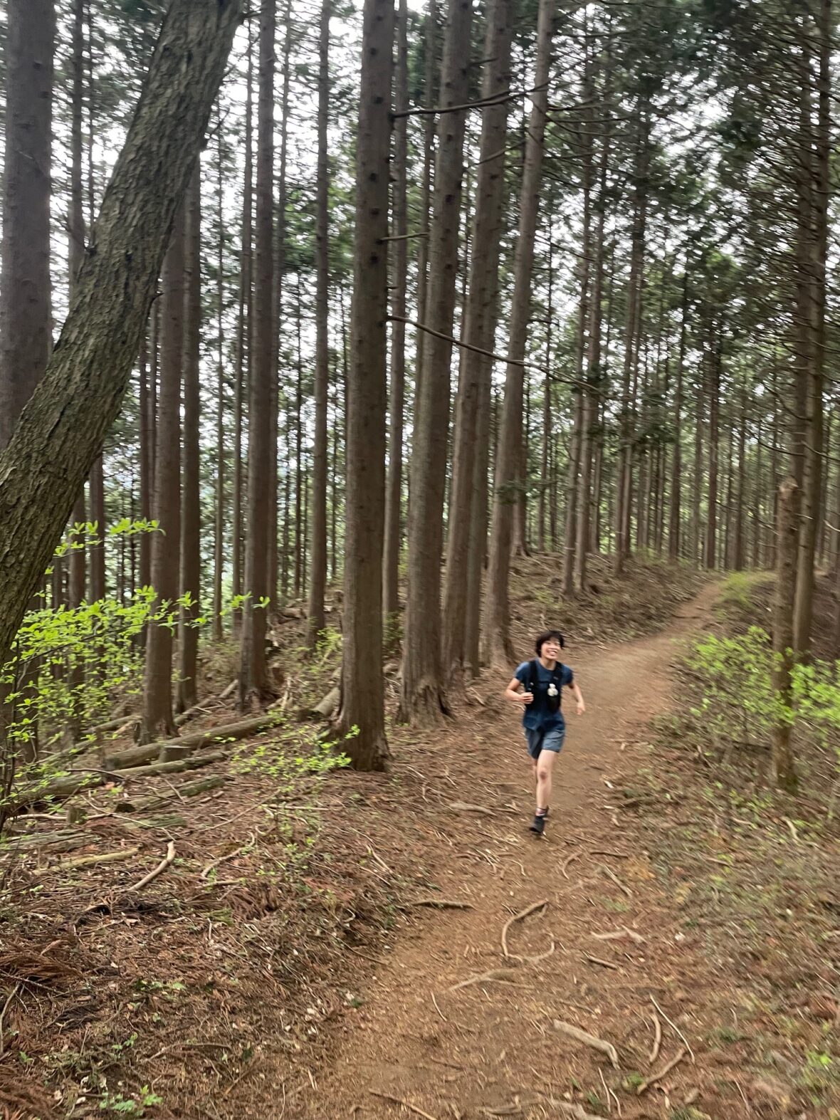
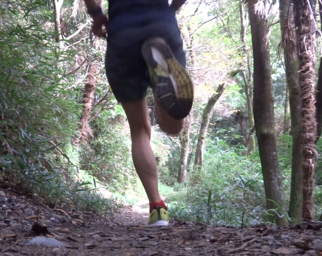
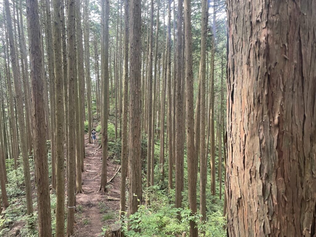
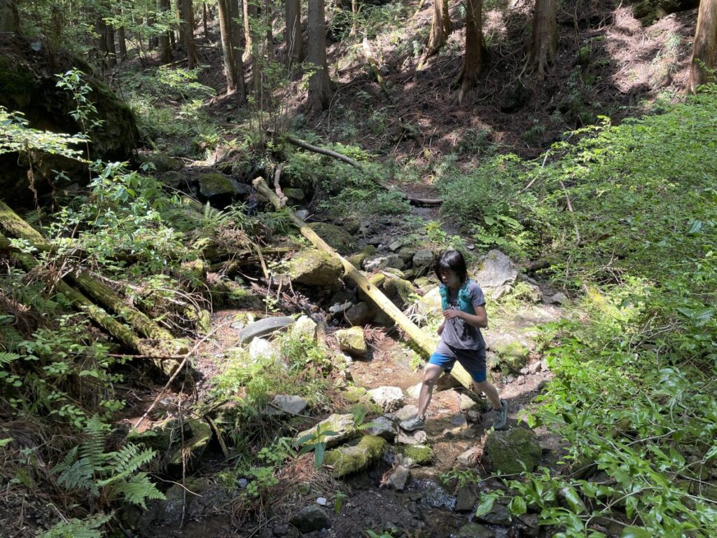
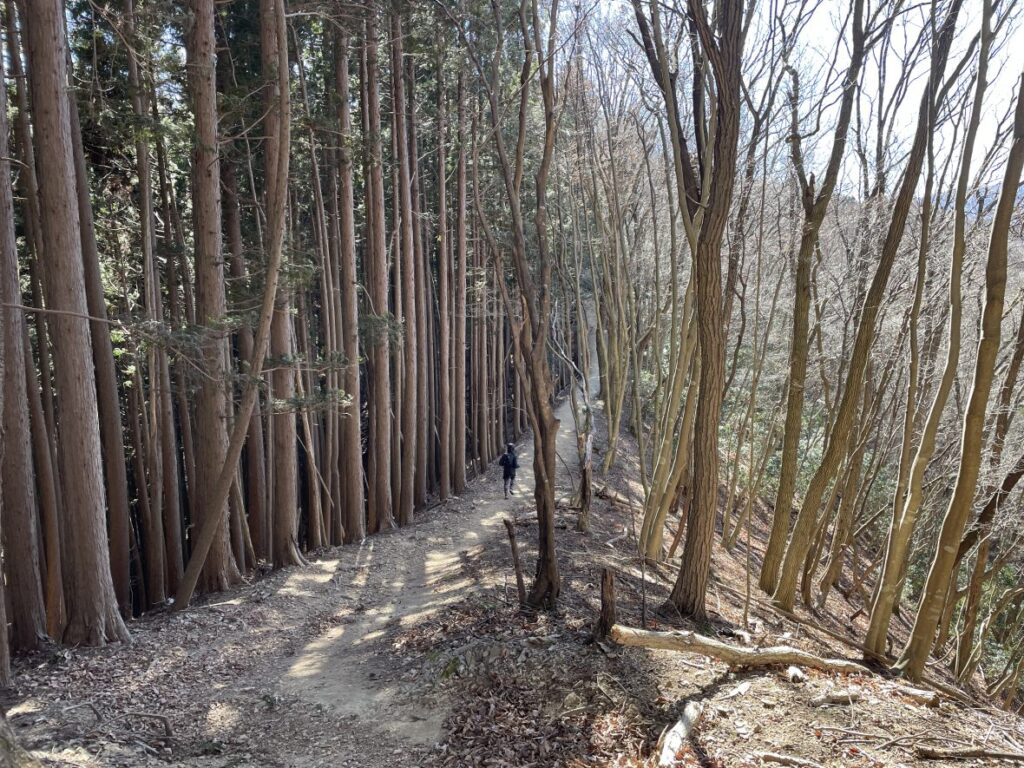
Recommended Routes (10–20km)
1.Musashi-Yokote Round
Highlight: 80% trail ratio! A two-part loop that is easy to cut short if you get tired.
Distance: 12.8km
Elevation Gain: 767m
Start/Finish: Musashi-Yokote Station
Moderate Trail Running Pace with breaks: 3.5–4.5 h
Level: Beginner

2.Ashigakubo to Shomaru
Highlight: Quiet mountain trails with long runnable sections.
Distance: 13.9km
Elevation Gain: 939m
Start: Ashigakubo Station | Finish: Shomaru Station
Moderate Trail Running Pace with breaks: 4 – 4.5h
Level: Beginner–Intermediate
3.Shomaru to Agano
Highlight: Minimal steep ups and downs. A classic “runnable” ridge trail.
Distance: 14.4km
Elevation Gain: 848m
Start: Shomaru Station | Finish: Agano Station
Moderate Trail Running Pace with breaks: 3.5–4.5 h
Level: Beginner–Intermediate
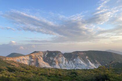
4.Nishi-Agano – Mt. Bōnore – Mitake
Highlight: A massive traverse connecting two different mountain ranges. Great views!
Distance: 22km
Elevation Gain: 1799m
Start: Nishi-Agano Station | Finish: Mitake Station
Moderate Trail Running Pace with breaks: 7 – 8.5 h
Level: Intermediate- Advanced
Trail Running Etiquette in Japan
Trail running culture in Japan values harmony and safety.
Please keep in mind:
1.Yield to Hikers: Always slow down or walk when passing. Hikers have the right of way.
2.Uphill Priority: Those going up have the right of way. If descending, step aside on the mountain side (not the cliff side).
3.Say Hello: A friendly “Konnichiwa” (Hello) goes a long way. When passing, saying “Excuse me” or “Konnichiwa” is standard.
4.No Trace: Carry all your trash back to the city.
5.Stay on the Path: Protect the vegetation. Avoid running on wooden boardwalks in marshlands to prevent damage and slipping.
6.Plan Your Escape: Always check the train schedule and identify “escape routes” to the nearest station in case of injury or weather changes.
Respecting these rules helps maintain a positive relationship between runners and hikers.
🏃♂️ Personalized Trail Planning
Looking for a custom itinerary? I also offer personalized trail planning tailored to your fitness level and schedule. Feel free to contact me for a bespoke running plan!
👉[Check out my Custom Itineraries here]