Bored of just sightseeing?
Tokyo is a massive metropolis, but a short train ride reveals a world of rugged peaks and lush forests.
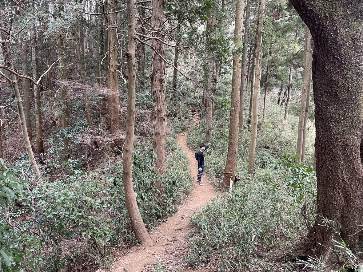
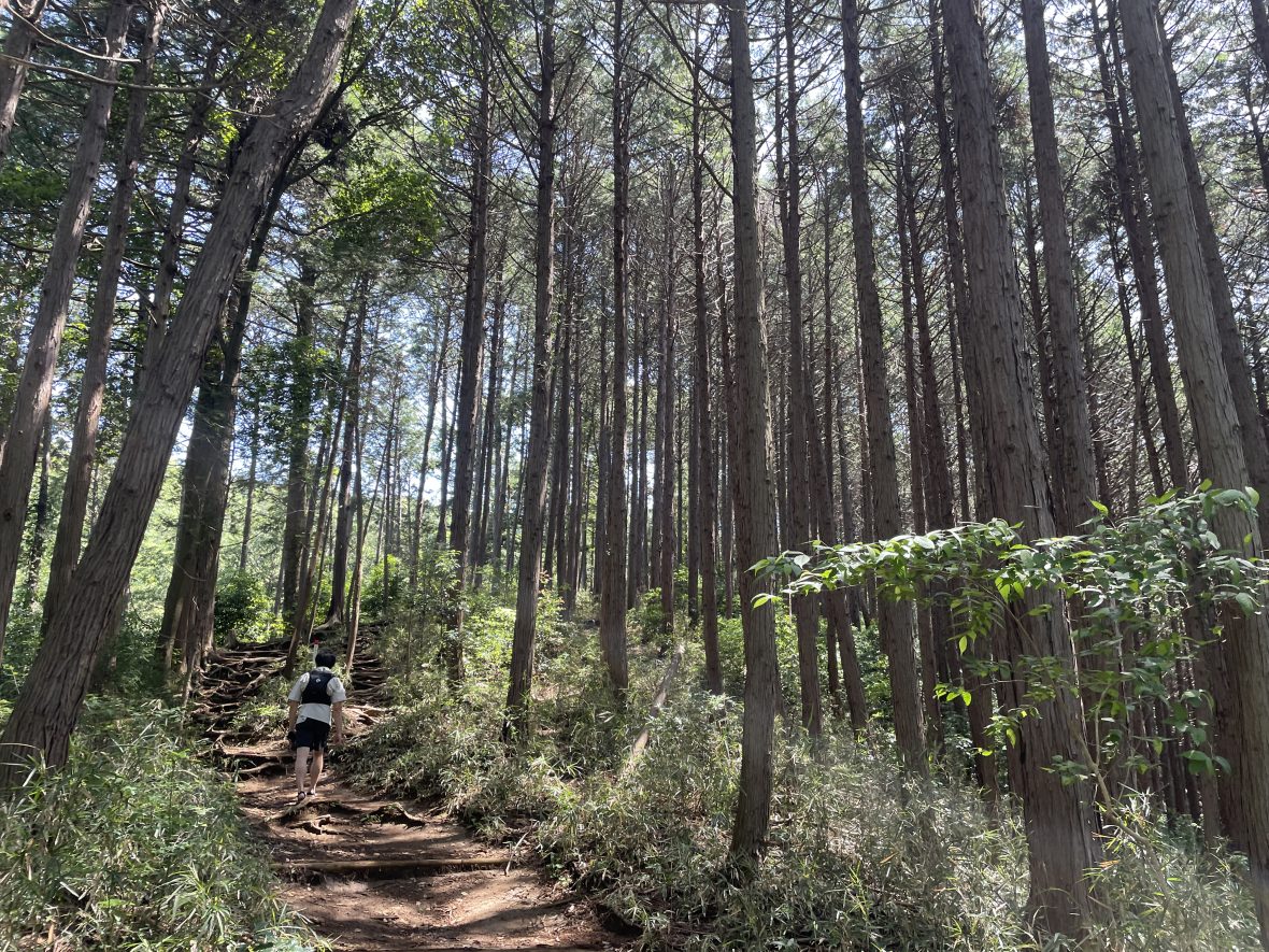
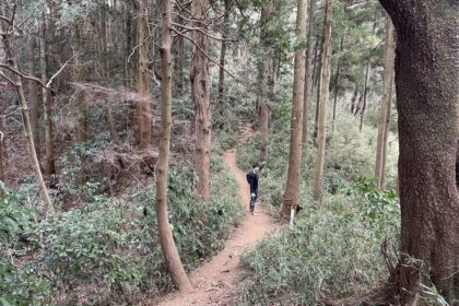
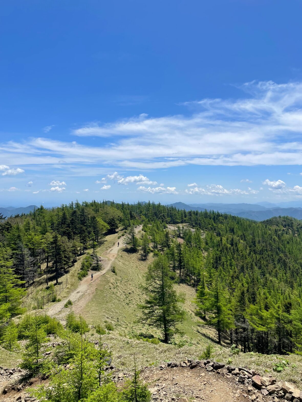
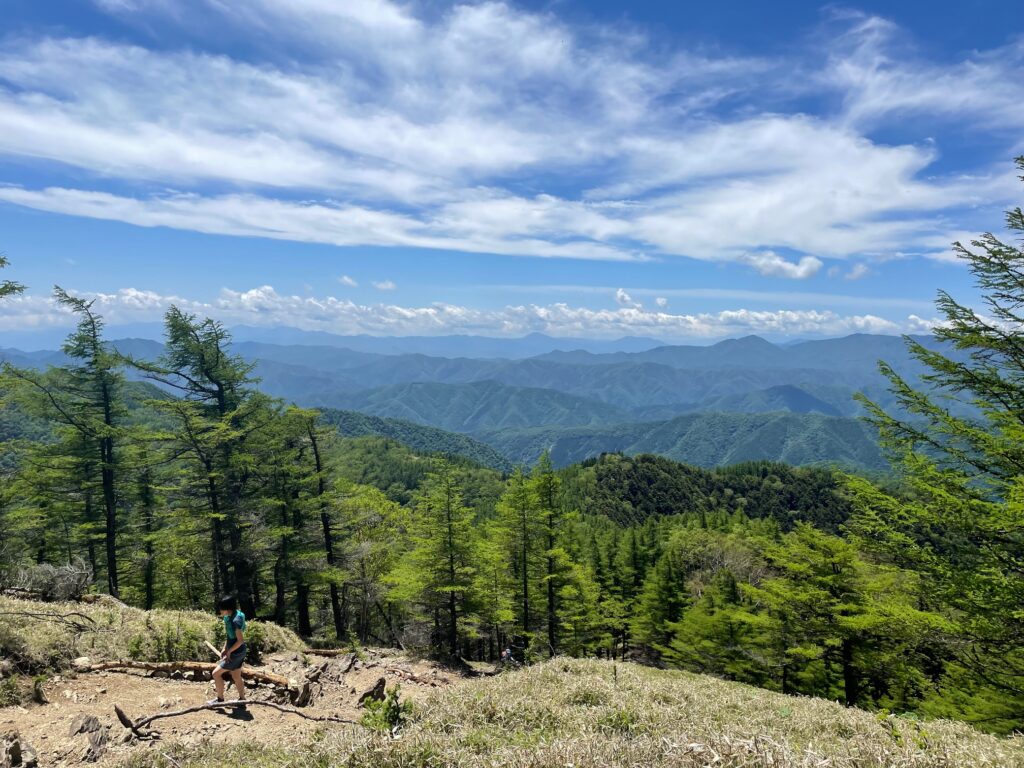
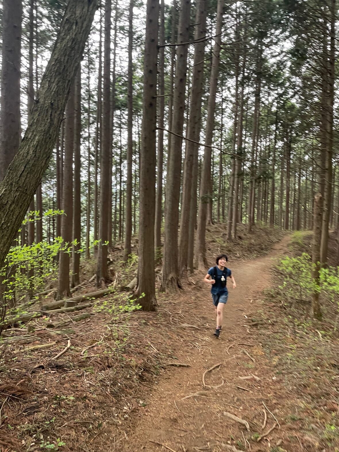
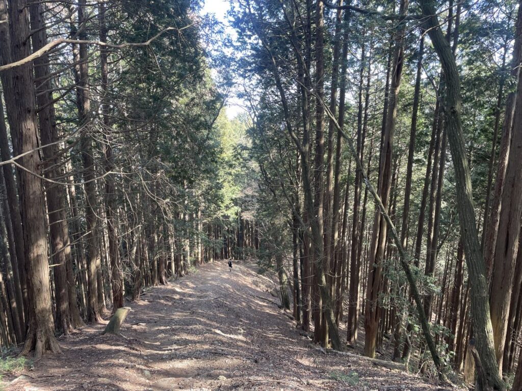
Today, let me introduce you to Okutama — a mountain paradise just 90–120 minutes from central Tokyo, offering world-class 10–20km trails.
I’ll also share practical tips for international runners and important trail etiquette in Japan.
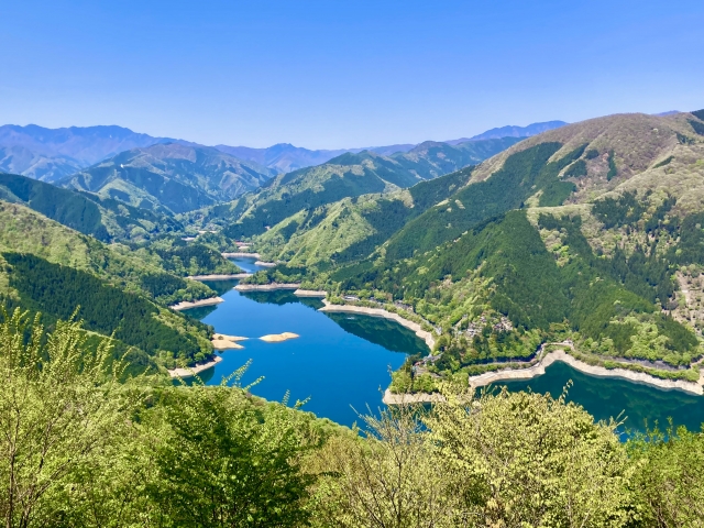
Where is Okutama?
Okutama is located on the western edge of Tokyo Prefecture.
It is home to some of Tokyo’s highest peaks, including Mount Kumotori (2,017m).
The mountains here tend to be:
・Steeper
・Higher (1,000–2,000m range)
・More rugged and alpine in character
Many routes begin with immediate steep climbs from the trailhead.
Because of this dramatic terrain, Okutama is also popular with climbers due to its rocky valleys and cliff bands.
Compared to Okumusashi, Okutama feels more “mountainous” and committing. Plan accordingly.
Despite its wild feel, access is simple:
・Direct access via the JR Ome Line
・Less than 2 hours from Shinjuku
・Frequent weekend train and bus services
⚠ Summers are extremely hot and humid, even at elevation.
⚠ Snow accumulation is usually light, but after heavy winter snowfall, higher ridges may remain icy for weeks.
Logistics for International Visitors
・Access: JR Ome Line
・IC card (Suica/PASMO) recommended
・Few convenience stores on course — buy supplies beforehand
・Limited natural water sources
・No special permit required for day runs
・Best seasons: Spring, Autumn, Winter (avoid mid-summer heat)
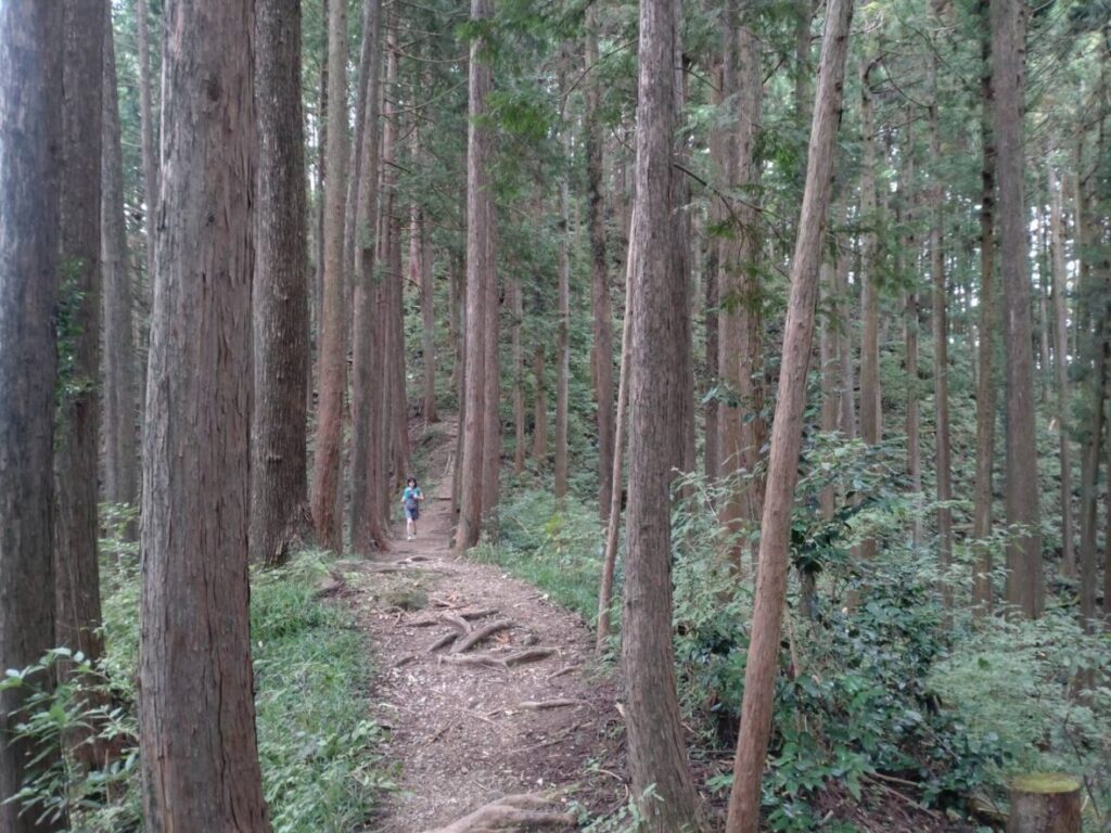
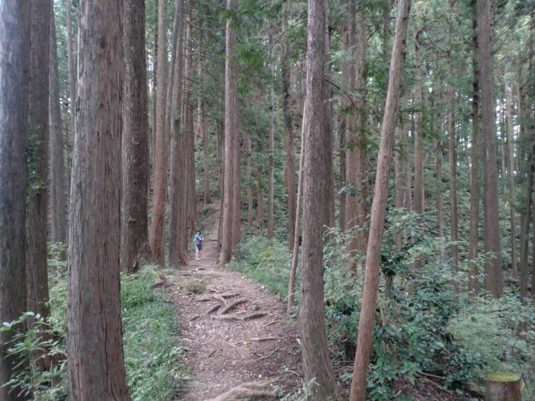
Recommended Routes (10–20km)
1. Ome Hills (Ome Kyuryo)
Highlight: A beginner-friendly, mostly single-track ridge path that is very easy to follow.
Distance: 10.6km
Elevation Gain: 577m
Start: Ome Station |Finish: Ikusabata Station
Moderate Trail Running Pace with breaks: 2.5–3 hours
Level: Beginner
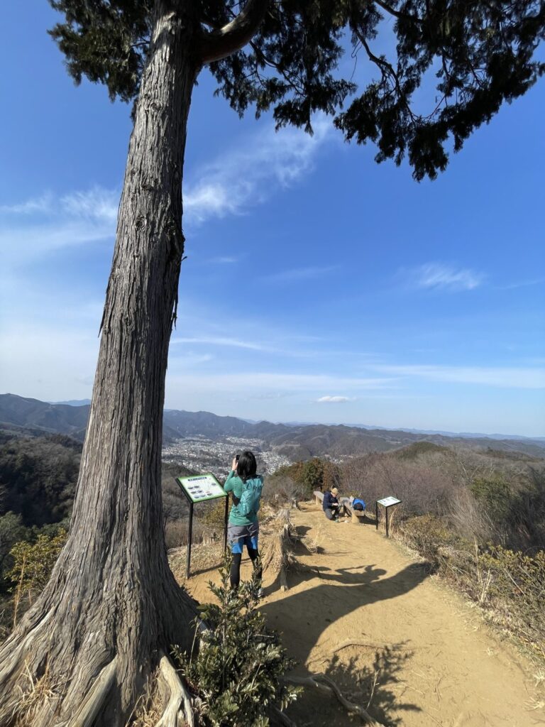
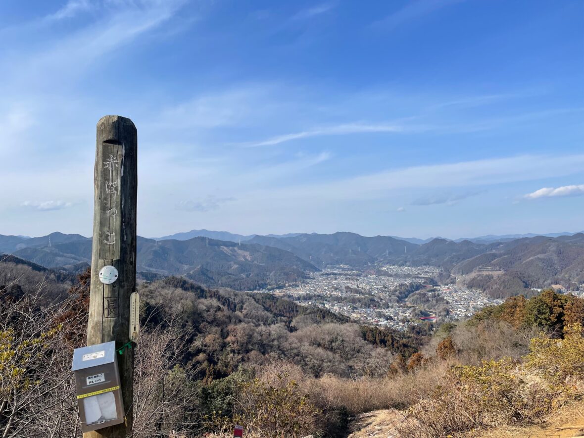
2. Akabokko
Highlight: Gentle elevation changes and open viewpoints. Very runnable!
Distance: 14km
Elevation Gain: 452m
Start: Miyanohira Station | Finish: Hamura Station
Moderate Trail Running Pace with breaks: 3–3.5 h
Level: Beginner
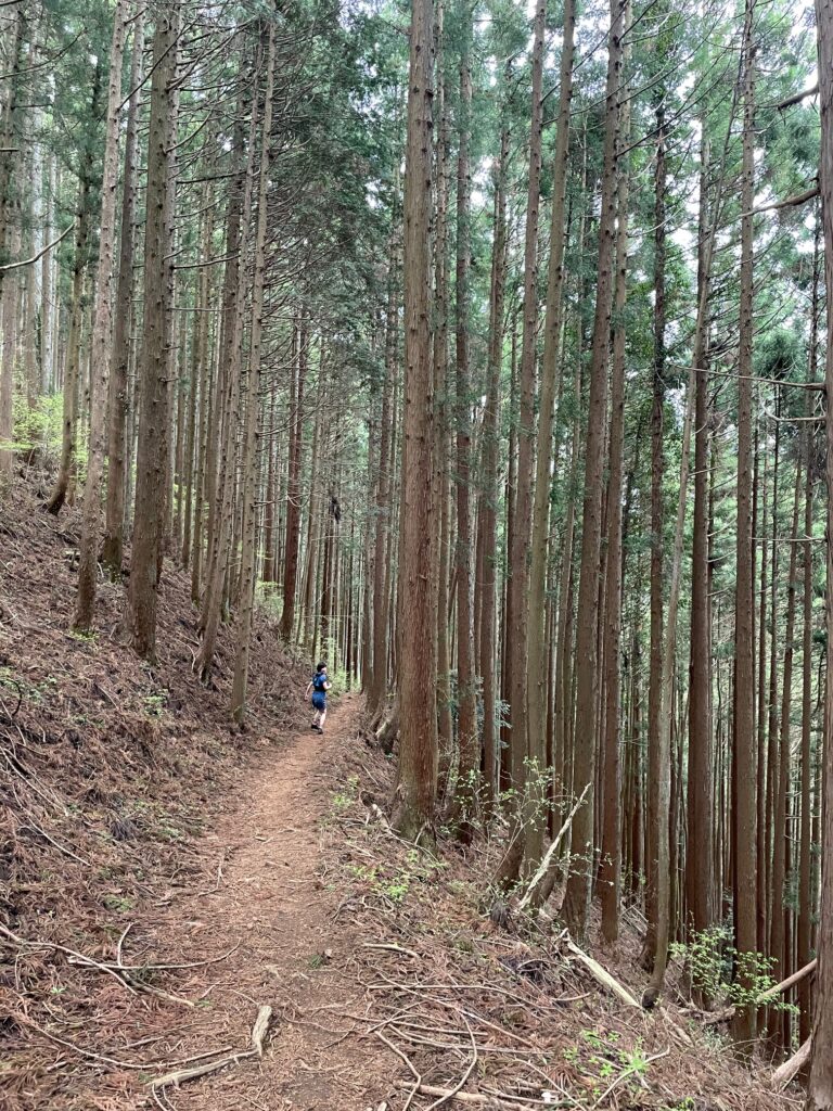
3. Mitake to Musashi-Itsukaichi
Highlight: An exhilarating ridge run that feels like it was designed specifically for trail running.
Distance: 17.7km
Elevation Gain: 920m
Start: Mitake Station | Finish: Musashi-Itsukaichi Station
Moderate Trail Running Pace with breaks: 4 – 5.5 hours
Level: Beginner–Intermediate
4. Okutama to Kori
Highlight: A serious mountain experience featuring a thrilling 7km non-stop descent!
Distance: 14.3km
Elevation Gain: 1,445m
Start: Okutama Station | Finish: Kori Station
Moderate Trail Running Pace with breaks: 5–6 h
Level: Intermediate–Advanced
Trail Running Etiquette in Japan
Trail running culture in Japan values harmony and safety.
Please keep in mind:
1.Yield to Hikers: Always slow down or walk when passing. Hikers have the right of way.
2.Uphill Priority: Those going up have the right of way. If descending, step aside on the mountain side (not the cliff side).
3.Say Hello: A friendly “Konnichiwa” (Hello) goes a long way. When passing, saying “Excuse me” or “Konnichiwa” is standard.
4.No Trace: Carry all your trash back to the city.
5.Stay on the Path: Protect the vegetation. Avoid running on wooden boardwalks in marshlands to prevent damage and slipping.
6.Plan Your Escape: Always check the train schedule and identify “escape routes” to the nearest station in case of injury or weather changes.
Respecting these rules helps maintain a positive relationship between runners and hikers.
🏃♂️ Personalized Trail Planning
Looking for a custom itinerary? I also offer personalized trail planning tailored to your fitness level and schedule. Feel free to contact me for a bespoke running plan!
👉[Check out my Custom Itineraries here]